Solution
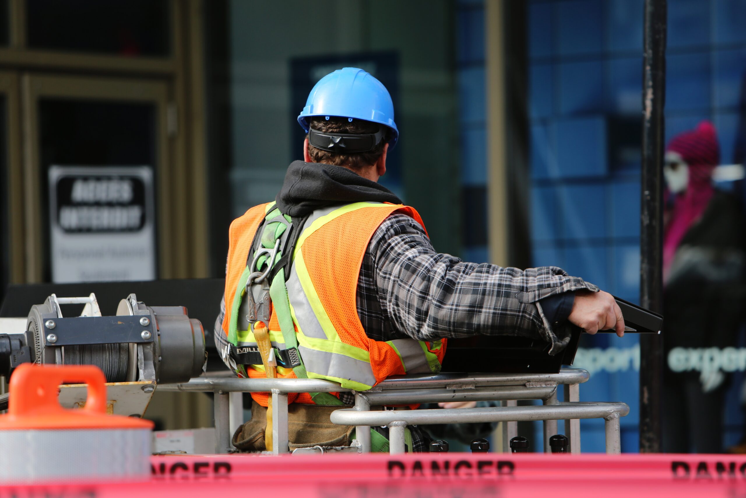
Previously, construction site workers walked around the construction site with a plan printed on paper, they measured everything manually and often found it hard to find the right points according to the architect’s plan. Measurement data can be inaccurate, the site itself can change due to weather conditions, and future errors can cost the company a lot of money and lost time.
With the new application, one person with a tablet in hand and no assistance is enough to correctly identify all the points on a platform of any size. Now the employee can determine exactly where he is (inside or outside the future building) and correlate it with the plan.
The app operates on different data such as layouts in 2D or 3D from CAD and BIM data. It calculates volumes and areas in real time and produces height transmission in flat, single or dual slope mode.
Moreover our solution is integrated with a large number of other tools (total station, data collector, sensors and others), which are very different from each other in capacities, speed and technologies.


